MAPS
How Do I Get Here From There?
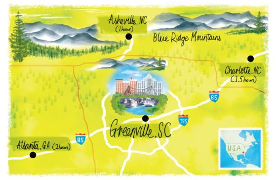
Greenville may not be the largest place on earth, but you're definitely going to want a map or two if you plan on finding your own way around, identifying points of interest, and seeing all the sights you'll want to see while you're here. We've created some terrific resources to help you stay on track during your visit.
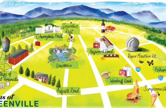
View and download the following PDF files by clicking on the map titles below. Maps are created and copyrighted by VisitGreenvilleSC in conjunction with Upstate Mapping & Water Services (cartographic) and Scott Jessop Art (illustrated). Maps may vary slightly by color and points of interest.
*Illustrated maps should not be taken literally. They are for general reference only.
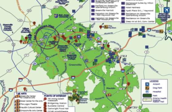
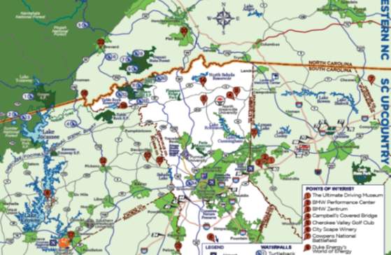
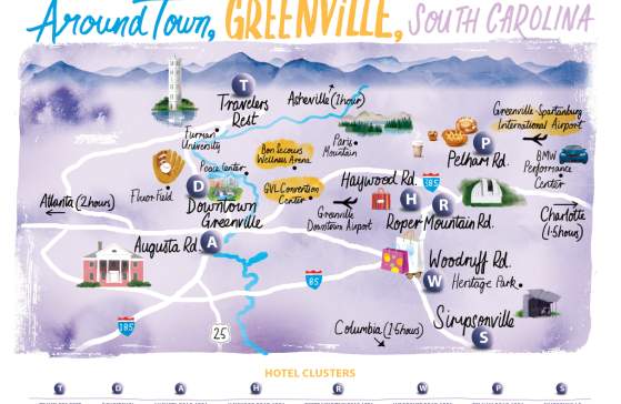
Greenville County, South Carolina Map

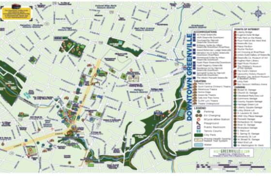
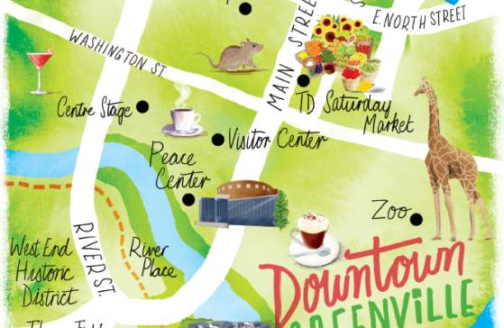
Downtown Greenville
- Tree-Lined, Walkable, Award-Winning Main Street
- Falls Park, Liberty Bridge & Reedy River Falls
- Outdoor Festivals & Events
- Museums, Theaters, Entertainment & Sports Venues
- Trendy Restaurants & Rooftop Bars
- Upscale Hotels & Public Art Displays

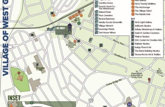
West Greenville
- Vibrant Arts & Culture Scene
- Historic Mills
- Coffeehouses, Tea Rooms & Bars
- Shoeless Joe Jackson Memorial Park
- James Beard Semi-Finalist, The Anchorage
- Hipster, Bohemian Vibe

Augusta Road Area
- Known as "The '05" (Pronounced 'Oh-Five')
- High-End Boutique Shopping
- The Pickwick: A 1949 Soda Fountain & Pharmacy
- Historic Mansions, including The Wilkins House
- Events: 'Summer on Augusta' & 'Holiday Open House'
- Residential (Locals Known as "Augusta Roadies")

Cherrydale Point / North Greenville
- Furman University & Bob Jones University
- Paris Mountain State Park
- Shopping, Dining & Regal Cinemas
- Prisma Health Swamp Rabbit Trail

Haywood Road / Greenville Convention Center Area
- Haywood Mall, South Carolina's Largest Mall
- Hotels, Restaurants & Shops
- Greenville Downtown Airport & Runway Park

Roper Mountain Road Area
- Roper Mountain Science Center & Planetarium
- MOTIVE School of Movement: American Ninja Warrior Gym
- The Preserve at Verdae (Public Golf Course)
- Residential Area; Oak Grove Lake & Legacy Park

Woodruff Road Area
- Major Shopping Centers; Magnolia Park
- Arcades & Gaming Facilities
- Big-Box Retail Giants
- Chain & Fast-Food Restaurants
- Trampoline Parks & Regal Cinemas
- Hotels & Day Spas

Pelham Road / Airport Area
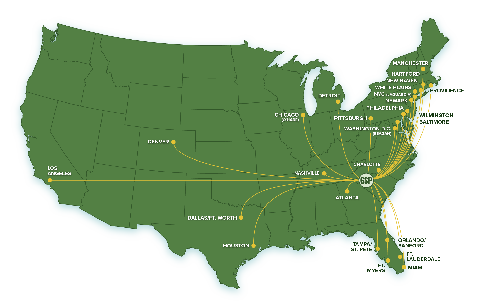
- GSP International Airport
- BMW North American HQ, Zentrum Museum & Performance Center
- Michelin North American Headquarters
- Hotels, Shops & Restaurants

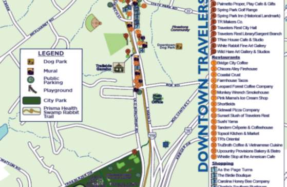
Travelers Rest
- Quaint, Charming Downtown
- Prisma Health Swamp Rabbit Trail
- Locally Owned Shops & Restaurants
- Gateway to the Mountains

Taylors / Greer
- Historic Taylors Mill
- Pavilion Recreation Complex
- Greer Station
- Cozy Boutiques & Restaurants

Mauldin / Simpsonville / Fountain Inn
- Picturesque, Inviting Downtowns & Main Streets
- BridgeWay Station
- Historic Buildings; Upstate Pinball & Arcade Museum
- Conestee Nature Preserve & Cedar Falls
- CCNB Amphitheatre at Heritage Park
- Craft Beer Breweries & Southern Dining
- Hidden Pasture Unicorn Farm

Lake Country
- LAKE KEOWEE: A Comprehensive Guide
- Keowee-Toxaway State Park
- Duke Energy's World of Energy
- Boating & Lakeside Restaurants
- LAKE JOCASSEE: A Comprehensive Guide
- Devils Fork State Park
- Jocassee Outdoor Center
- Jocassee Lake Tours
- Scuba Diving & Waterfalls
- Oconee Bell Flowers
- LAKE HARTWELL: A Comprehensive Guide
- Lake Hartwell State Park
- Sadlers Creek State Park
- Fishing Charters & Splash Parks
- Bassmaster Classics
Order a Free Destination Guide
Get helpful tips & unbelievable trip inspiration on every page!
CARTOGRAPHIC MAPS
ILLUSTRATED MAPS
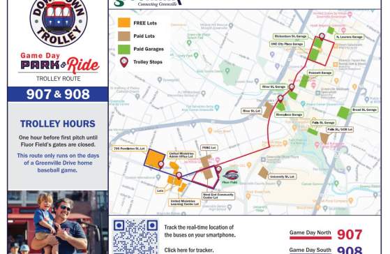
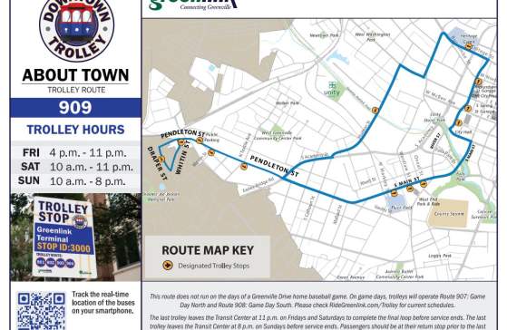
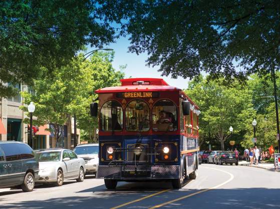
DOWNTOWN TROLLEY ROUTE MAPS
For more information on trolley operating hours, service periods, rules, and how to find out where the trolley is in real-time, visit the Downtown Trolley page.
SOUTH CAROLINA STATE TRAIL MAPS
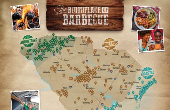
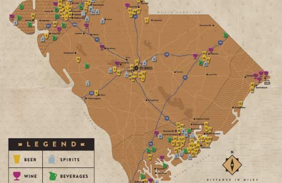
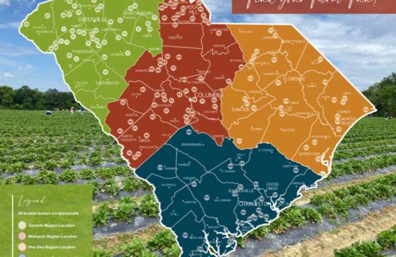
The following maps are produced by the South Carolina Department of Parks, Recreation & Tourism. The state is divided into various regions (Greenville being the Upstate or Mountains regions) and the map identifies many, though not all, of the best barbecue restaurants, breweries, distilleries, wineries, or farms (depending on which map you look at.) Agritourism Passport booklets can be picked up at any of the participating farms. When you visit the farms, collect stamps in your passport and win South Carolina items!
